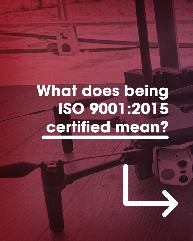
What does being ISO 9001:2015 certified for our Quality Management System (QMS) actually mean?
What does being ISO 9001:2015 certified for our Quality Management System (QMS) actually mean? 🔺 Reliability and Traceability. 🔺 Risk Management. 🔺 Continuous Improvement. 🔺 Customer Focus. Quality is the result of intelligent effort and a standardized process. By choosing Aurea, our partners don’t just choose innovation; they choose the assurance of a certified process […]