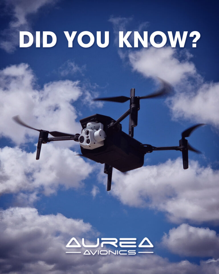
Did you know what SLAM is?
This technology allows a drone to know where it is and build a map of its surroundings at the same time — without relying on GPS. How? By using sensors such as cameras, LIDAR, or IMUs.
It’s especially useful in complex environments like tunnels, dense urban areas, or building interiors, where satellite signals are unavailable or unreliable.
At Aurea Avionics, we develop systems that integrate SLAM so our UAS can fly autonomously, accurately, and safely — even when the environment works against them.
#SLAM #UAS #AureaAvionics #AutonomousNavigation #GPSDeniedDrones